The Pointe d’Uble
Add to my favorites

Route closed
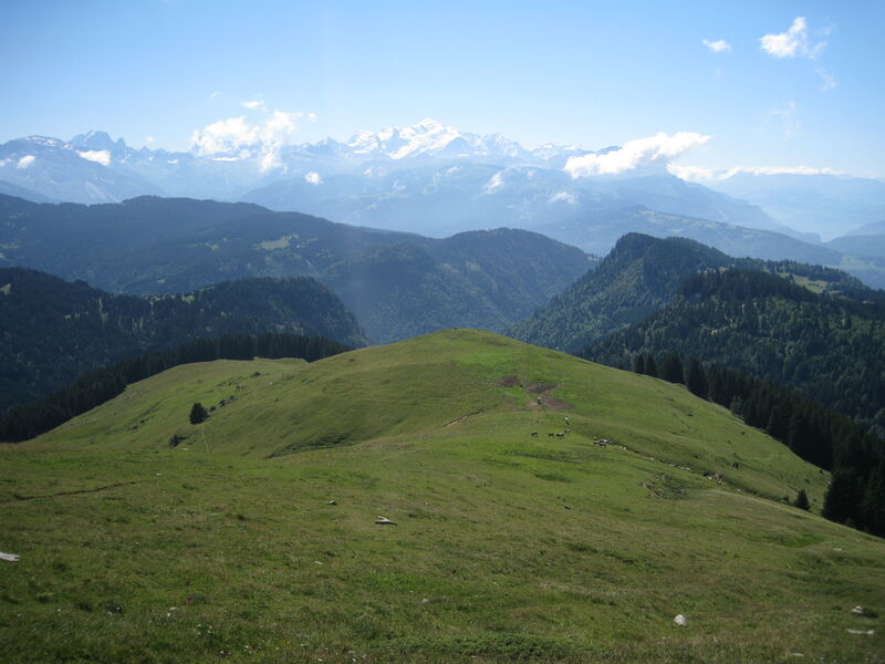
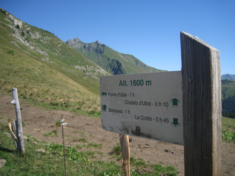
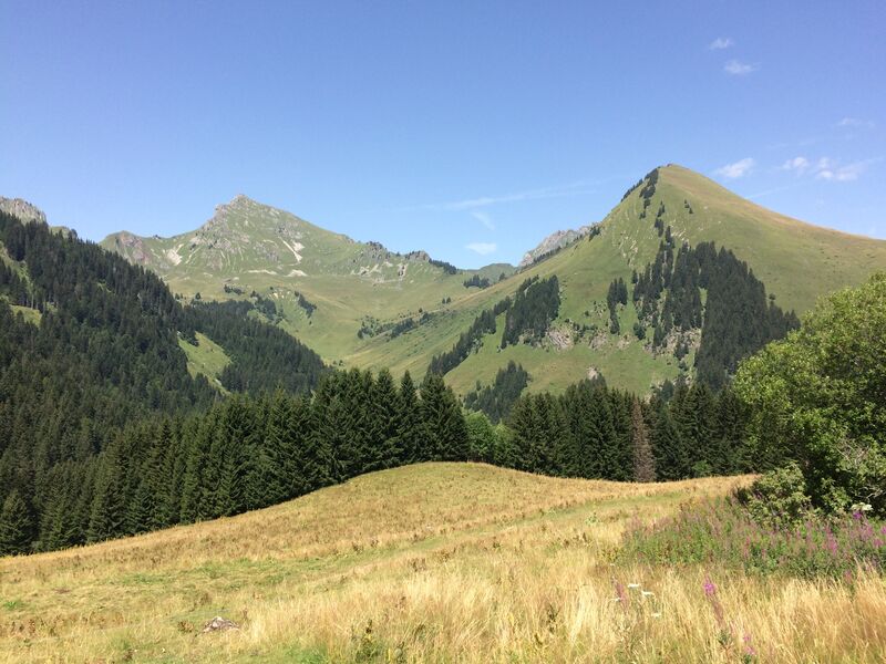
Mid-mountain itinerary through the forest and across pastures with various viewpoints overlooking the surrounding region.
The characteristics of the route.
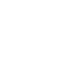
Taninges (74)
- Distance 6.2 km
- Elevation gain 730 m
- Elevation lost 730 m
- Min. elevation 1228 m
- Max. elevation. 1957 m
- Duration (depending on pace) 4h05
- Marking Yes
A mountain hiking expedition, a far cry from the lively villages and resorts. Around the Pointe d’Uble, people often see bighorn sheep and chamois. The sections of this itinerary across the pastures offer some great views over the surrounding valleys and mountains.Equipments : Car park, Good plans : If you're lucky, you may catch a glimpse of mouflons in the Roc d'Enfer large animal reserve on the grassy slopes at the foot of Uble.Admission fee : Free access.Opening : From 15/05 to 15/11.
Subject to favorable snow and weather conditions.
Read before you go!
Adapt your equipment according to your level and the weather. Stay on the marked trails.
Adapt your equipment according to your level and the weather. Stay on the marked trails.
Area : Praz de Lys
Report a problem
La Pointe d'Uble Pdf file
Add your time and share your feelings


Information updated on 2025-05-30 by Praz de Lys Sommand Tourisme


Follow us on
the digital trails
the digital trails


![]()
Infos & contacts
Praz de Lys Sommand Tourisme
www.prazdelys-sommand.com
04.50.34.25.05
accueil@prazdelys-sommand.com
 Praz de Lys Sommand - Grandeur Nature - Parcours - The Pointe d’Uble
Hello, world! This is a toast message.
Praz de Lys Sommand - Grandeur Nature - Parcours - The Pointe d’Uble
Hello, world! This is a toast message.
Praz de Lys Sommand - Grandeur Nature - Parcours - The Pointe d’Uble
Hello, world! This is a toast message.


OK
Annuler