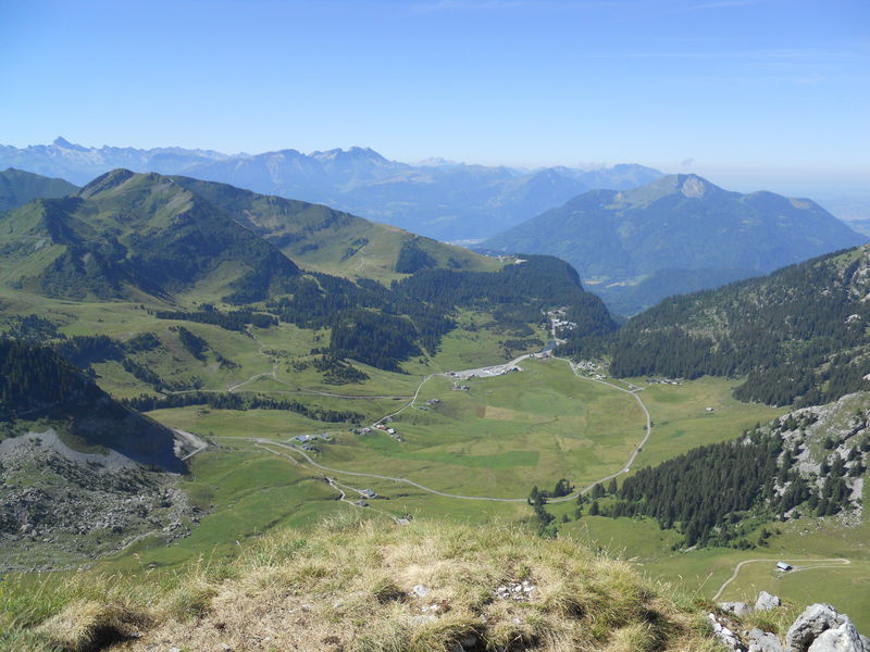
The Pointe de Chavasse
Add to my favorites

Route closed

A hiking trail where you are guaranteed to see wild animals. There is a herd of bighorn sheep here and it is not rare to catch a glimpse of chamois, ibex and of course, marmots. Your efforts will be rewarded by the fantastic view at the peak.
The characteristics of the route.

Mieussy (74)
- Distance 6.9 km
- Elevation gain 490 m
- Elevation lost 490 m
- Min. elevation 1546 m
- Max. elevation. 1994 m
- Duration (depending on pace) 3h
- Marking Yes
Equipments : Car park, Admission fee : Free access.Opening : From 15/05 to 15/11.
Subject to favorable snow and weather conditions.
Read before you go!
Adapt your equipment according to your level and the weather. Do not leave the marked trails.
Adapt your equipment according to your level and the weather. Do not leave the marked trails.
Area : Sommand
Report a problem Add a comment
La Pointe de Chavasse Pdf file Pdf file
Add your time and share your feelings
Praz de Lys Sommand Tourisme +33(0)4 50 35 25 05 accueil@prazdelys-sommand.comContact 04 50 34 25 05 accueil@prazdelys-sommand.com
Information updated on 2023-08-23 by Praz de Lys Sommand Tourisme

OK
Annuler


