Ivoray - Sur le Mont
Add to my favorites

Route opened
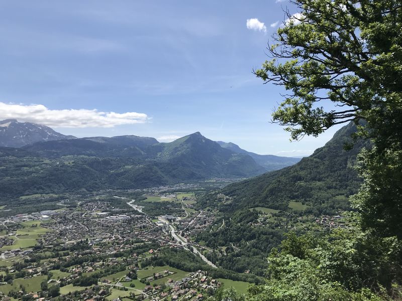
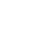
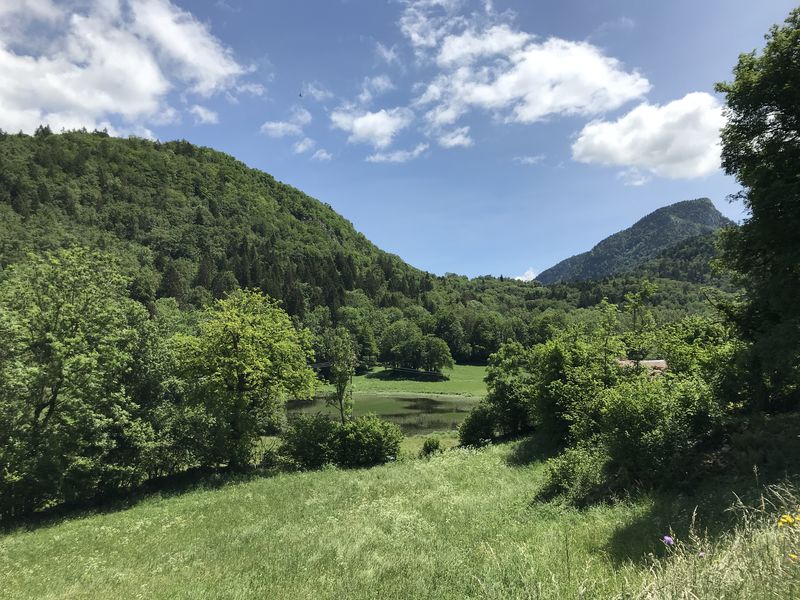
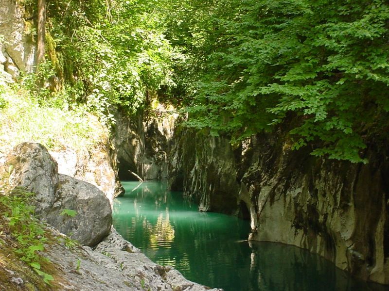
From Mieussy, this is an easy nature and discovery walk through the remarkable village of Ivoray, with its impressive farms and the hilltop hamlet of Sur le Mont with some beautifully restored farms.
The characteristics of the route.
Mieussy (74)
- Distance 11.1 km
- Elevation gain 500 m
- Elevation lost 500 m
- Min. elevation 581 m
- Max. elevation. 1042 m
- Duration (depending on pace) 1h40
- Marking Yes
To see along this trail:
- The villages of Ivory and Bois Gervaz
- The very beautiful village of Sur le Mont and view of the Giffre and Arve Valleys
- Pottery workshop in Bois GervazEquipments : Car park, Admission fee : Free access.Opening : All year round. Subject to favorable snow and weather conditions.
- The villages of Ivory and Bois Gervaz
- The very beautiful village of Sur le Mont and view of the Giffre and Arve Valleys
- Pottery workshop in Bois GervazEquipments : Car park, Admission fee : Free access.Opening : All year round. Subject to favorable snow and weather conditions.
Read before you go!
Adapt your equipment to your level and the weather. Stay on the marked trails.
Adapt your equipment to your level and the weather. Stay on the marked trails.
Area : Praz de Lys
Report a problem
Ivoray - Sur le Mont Pdf file
Add your time and share your feelings


Information updated on 2025-05-30 by Praz de Lys Sommand Tourisme


Follow us on
the digital trails
the digital trails


![]()
Infos & contacts
Praz de Lys Sommand Tourisme
www.prazdelys-sommand.com
04.50.34.25.05
accueil@prazdelys-sommand.com
 Praz de Lys Sommand - Grandeur Nature - Parcours - Ivoray - Sur le Mont
Hello, world! This is a toast message.
Praz de Lys Sommand - Grandeur Nature - Parcours - Ivoray - Sur le Mont
Hello, world! This is a toast message.
Praz de Lys Sommand - Grandeur Nature - Parcours - Ivoray - Sur le Mont
Hello, world! This is a toast message.


OK
Annuler