Cycling loop: Circuit de la Ramaz
Add to my favorites

Route closed
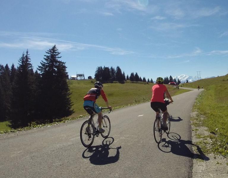
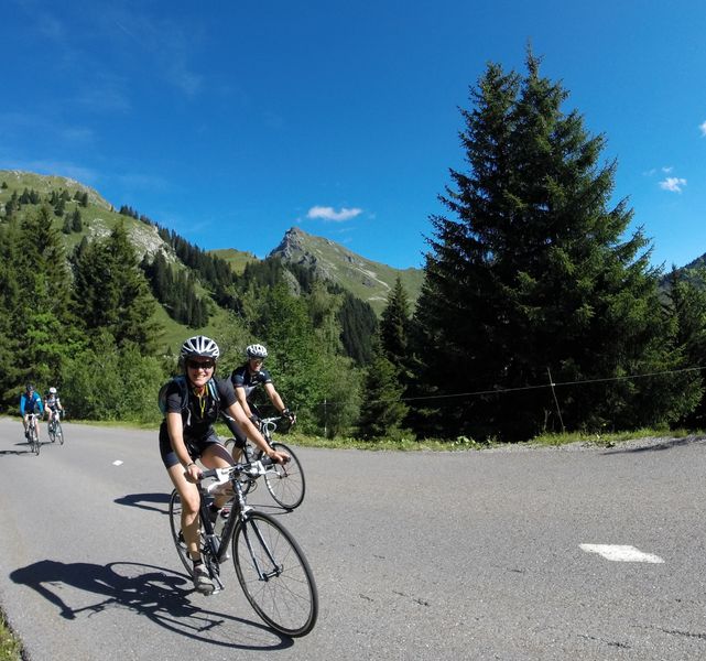
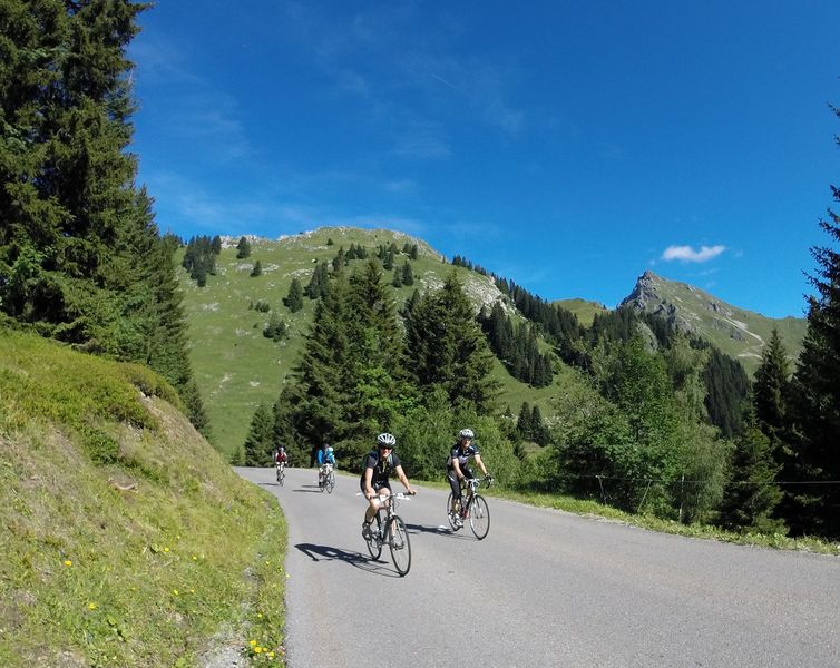
Less well-known than the Joux-Plane but still no pushover. 16 km of ascent in 6 % of average since Taninges, with a preliminary on the pass of Châtillon, here is the main course of this circuit decorated with panoramas on the Massif of Mont Blanc.
The characteristics of the route.

Cluses (74)
- Distance 70.2 km
- Elevation gain 1590 m
- Elevation lost 1590 m
- Min. elevation 469 m
- Max. elevation. 1612 m
- Marking No
Direction: counter-clockwise.
Landmarks and connections: Taninges (separation with the Boucle du Giffre no. 39 and the Circuit de Joux-Plane no. 36); le Praz-de-Lys; Onnion; St-Jeoire (junction with the Tour du Môle no. 25)Description:La Ramaz has only twice seen Tour riders: in 1981 and in 2003. In the proposed direction, you'll get there via Châtillon and Taninges. At the town-center roundabout, take the RD907 to the left, then, 300 m further on, the RD307 to the right. This little road, which is quieter than the road to Les Gets, is the starting point for your ascent. At Fry, you'll cross the RD328, which you'll leave 2km later for the Praz-de-Lys / Sommant road (RD308). On the way up, take time to admire the panorama of all the peaks of the Mont-Blanc massif. On the way down, don't miss the exit from the road on your right, at a place called "chez Besson". Catch up with the RD226 at St-Denis and turn left just before Laitraz. Return via Onnion and St-Jeoire, where you'll be directed under the Môle onto a small balcony road (RD306) leading to Marignier. Enjoy the last few kilometers of leisurely cycling on the new "voie verte" to Cluses.Admission fee : Free access.Opening : Closed temporarily.
Landmarks and connections: Taninges (separation with the Boucle du Giffre no. 39 and the Circuit de Joux-Plane no. 36); le Praz-de-Lys; Onnion; St-Jeoire (junction with the Tour du Môle no. 25)Description:La Ramaz has only twice seen Tour riders: in 1981 and in 2003. In the proposed direction, you'll get there via Châtillon and Taninges. At the town-center roundabout, take the RD907 to the left, then, 300 m further on, the RD307 to the right. This little road, which is quieter than the road to Les Gets, is the starting point for your ascent. At Fry, you'll cross the RD328, which you'll leave 2km later for the Praz-de-Lys / Sommant road (RD308). On the way up, take time to admire the panorama of all the peaks of the Mont-Blanc massif. On the way down, don't miss the exit from the road on your right, at a place called "chez Besson". Catch up with the RD226 at St-Denis and turn left just before Laitraz. Return via Onnion and St-Jeoire, where you'll be directed under the Môle onto a small balcony road (RD306) leading to Marignier. Enjoy the last few kilometers of leisurely cycling on the new "voie verte" to Cluses.Admission fee : Free access.Opening : Closed temporarily.
Area : Mieussy
Report a problem
Website Pdf file Pdf file
Add your time and share your feelings


Information updated on 2026-01-06 by Conseil Départemental de la Haute-Savoie


Follow us on
the digital trails
the digital trails


![]()
Infos & contacts
Praz de Lys Sommand Tourisme
www.prazdelys-sommand.com
04.50.34.25.05
accueil@prazdelys-sommand.com
 Praz de Lys Sommand - Grandeur Nature - Parcours - Cycling loop: Circuit de la Ramaz
Hello, world! This is a toast message.
Praz de Lys Sommand - Grandeur Nature - Parcours - Cycling loop: Circuit de la Ramaz
Hello, world! This is a toast message.
Praz de Lys Sommand - Grandeur Nature - Parcours - Cycling loop: Circuit de la Ramaz
Hello, world! This is a toast message.


OK
Annuler