Le Grand Bois
Add to my favorites

Route opened

The course, without particular difficulty which will allow you to evolve in wooded areas on both sides of the river Giffre.
The characteristics of the route.

Taninges (74)
- Distance 16.7 km
- Elevation gain 340 m
- Elevation lost 340 m
- Min. elevation 626 m
- Max. elevation. 773 m
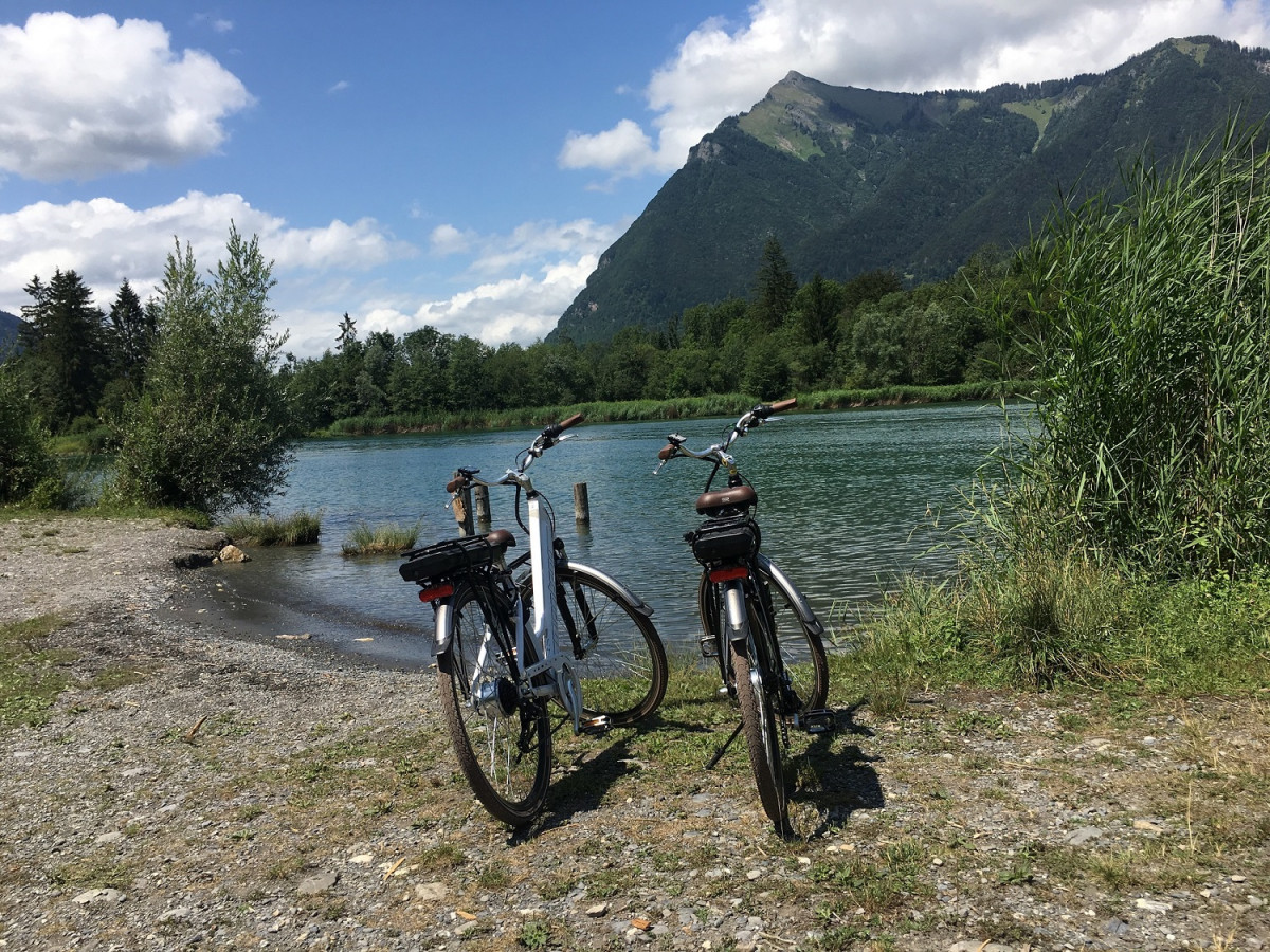
On the balcony on the northern slope, facing the pyramidal massif of the Pic du Marcelly (1999 m), the route invites itself through peaceful hamlets before reaching the Lac des Vernays. On your way you can discover the Chapel of Nicodex or the pretty hamlet of Miaux. The return is via the right bank of the Giffre, an impetuous free-flowing river to the Taninges dam.
Area : Taninges
Report a problem Add a comment
Add your time and share your feelings
OK
Annuler


