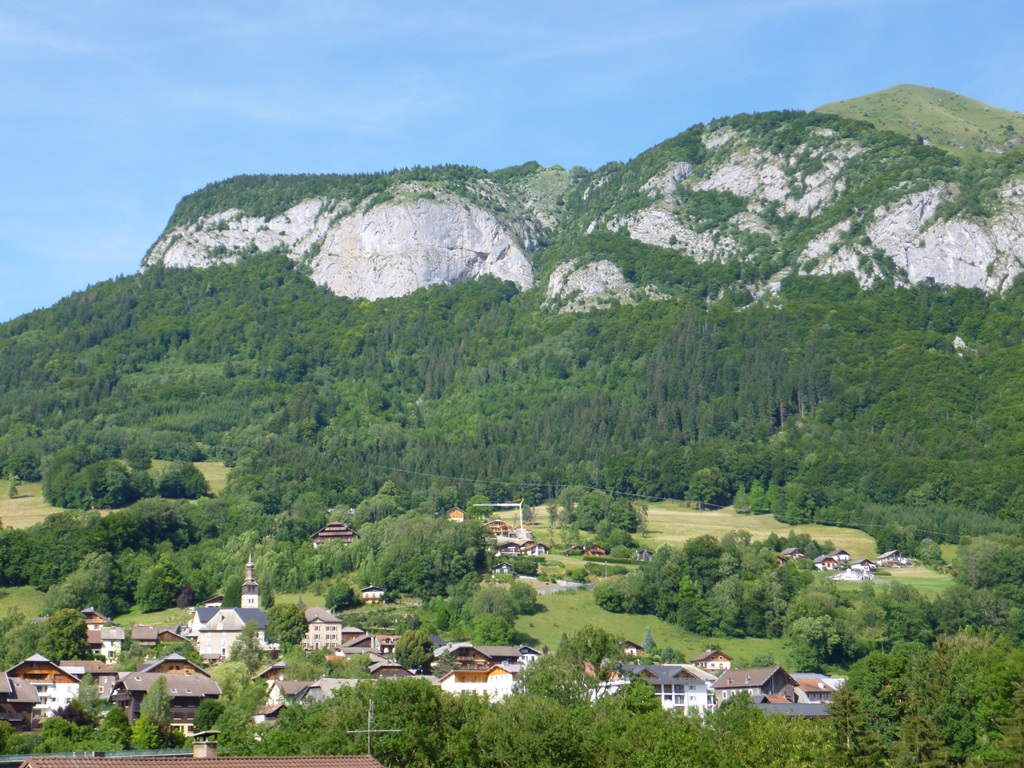
Pertuiset take-off slope
Add to my favorites

Route opened

Walk up to the paragliding take-off site where the very first paragliders took to the skies in 1978. The itinerary crosses through the village of Mieussy, then along a stone path in the forest, before reaching the vast Alpine pastures of Platière and Pertuiset. There is a breath-taking view of the Môle, Aravis mountains and Mont-Blanc from here.
The characteristics of the route.

Mieussy (74)
- Distance 5.9 km
- Elevation gain 991 m
- Elevation lost 3 m
- Min. elevation 663 m
- Max. elevation. 1623 m
- Duration (depending on pace) 1h30/3h
- Marking hiking marking signs
Add your time and share your feelings
Praz de Lys Sommand Tourisme +33(0)4 50 35 25 05 accueil@prazdelys-sommand.com
OK
Annuler


